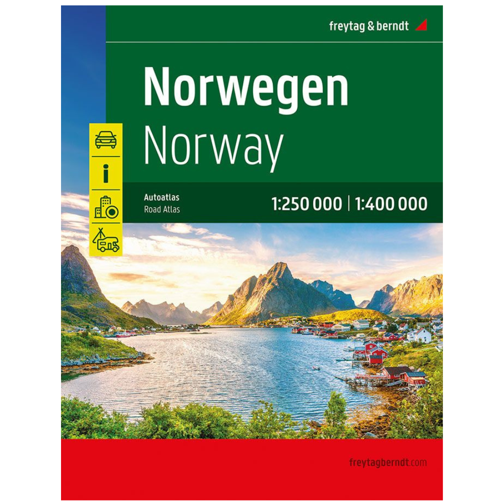
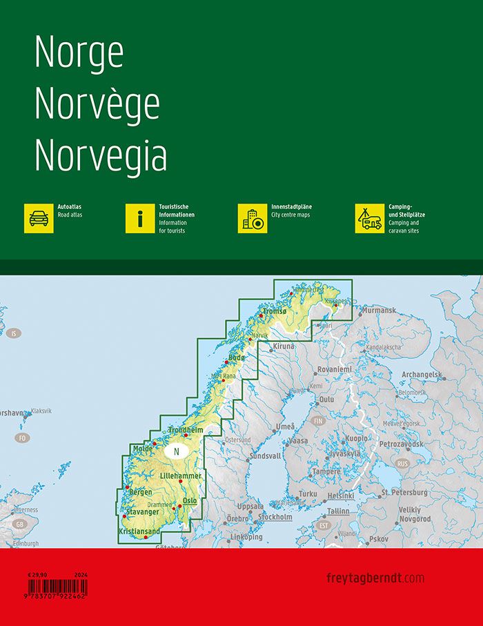
Norway Road Atlas 1:250,000 - 1:400,000
Norway Road Atlas 1:250,000 - 1:400,000
Couldn't load pickup availability
Super atlas with spiral binding, camping and pitches, leisure information
230 full-color pages. Large format 23 x 30 cm. Spiral bound.
The Norway Road Atlas 1:250,000 - 1:400,000 is the ideal companion for anyone traveling in Norway by car who wants to use more than just the main roads. It's ideal for planning and also proves to be an indispensable guide during the trip.
The detailed map image and precise scale allow you to discover even less busy side roads that are usually not shown on overview maps. Scenic routes are highlighted in color.
Information about the Norway road atlas
- Norway 1:250,000 - 1:400,000
- Spiral binding concealed
- Camping and pitches
- Tourist information
- Place register with postcodes
- Format 23 x 30 cm
One of the best road atlases for Norway
Norway's dense road network is accurately depicted, scenic sections and tourist roads are highlighted in color, and many excursion destinations are marked on the map.
Car and motorcycle drivers particularly appreciate the precise cartography for planning and orientation on the ground. To ensure that trips with a motorhome, caravan, or camper are also easily planned, all campsites and parking spaces are marked in the atlas.
Concealed spiral binding
The Norway Road Atlas is particularly convenient to use, as it's spiral-bound and easily folds open. This way, the desired page remains open even while driving.
City center plans
The included city maps help you find your way around these cities: Bodø , Bergen , Hammerfest , Kristiansand , Narvik , Stavanger , Oslo , Trondheim .
More about Norway and road atlases
Share on social networks


