Norway regional maps - Cappelen Kart Norway
Norway regional maps - Cappelen Kart Norway
Couldn't load pickup availability
Norway regional maps with tourist information
Licensed edition of Cappelen Kart Norway
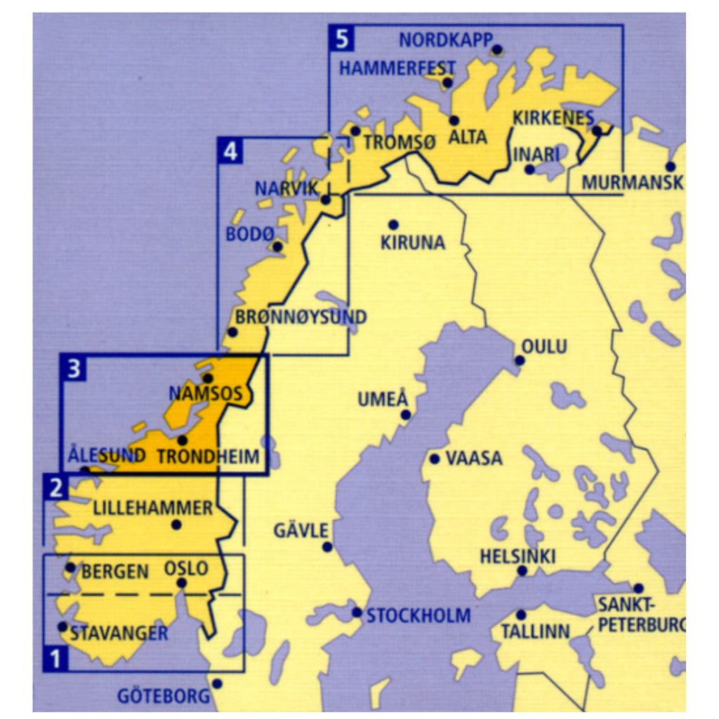
The five leaves are divided into:
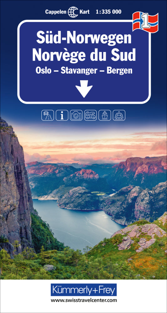
Sheet 1 - Southern Norway - Oslo, Stavanger, Bergen - Scale: 1:335,000
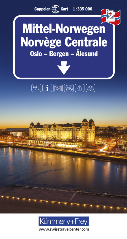
Sheet 2 - Central Norway - Oslo, Bergen, Alesund - Scale 1:335,000
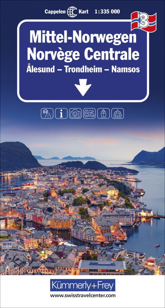
Sheet 3 - Central Norway - Alesund, Trondheim, Namsos - Scale 1:335,000
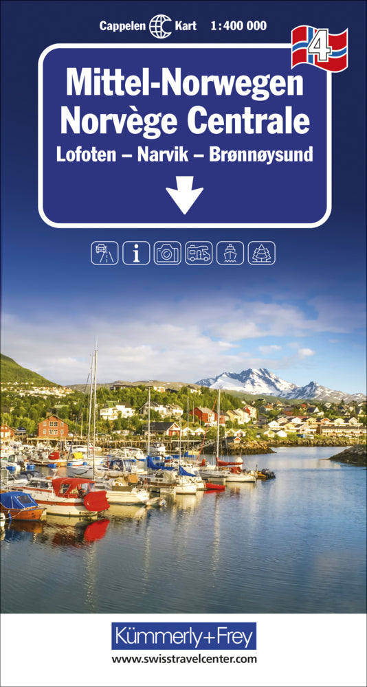
Sheet 4 - Central Norway - Lofoten, Narvik, Brønnøysund - scale 1:400,000
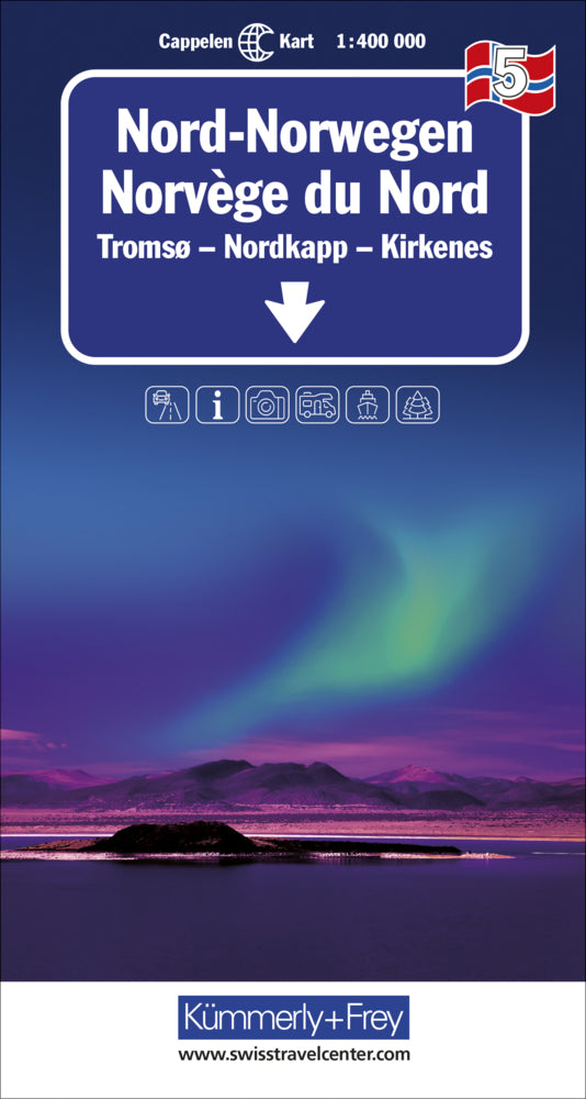
Sheet 5 - Northern Norway - Tromsø, North Cape, Kirkenes - Scale 1:400,000
Optimal orientation - the regional maps help.
With regional maps from Kümmerly+Frey, you'll feel at home even when you're on the go. You'll always know where you are and how far it is to the next attraction. The regional maps are licensed from Cappelen Kart Norway .
The cards contain, among other things, the following information:
Roads, paths, marked hiking trails with time information, tunnels, ferries, railways, cities, towns, bodies of water, national parks, distance information, huts, hotels, campsites, swimming spots, viewpoints, sights, waterfalls. Legends also in German.
You can find out more about Norway here ...
Share on social networks
